- The Original
- The Most Complete
- The Most Up-To-Date

Legendary cruiser, Steve Dashew
“The best cruising guide I have ever used”
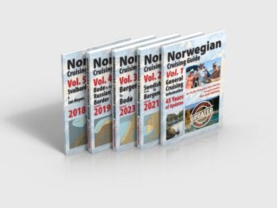
- Continuously updated since 1978
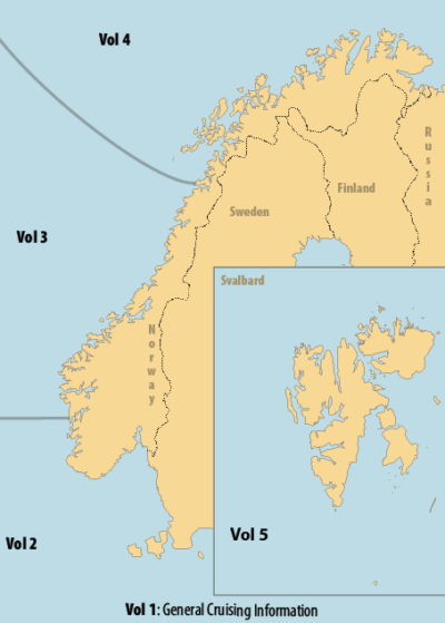
- Over 1000 pages (five volumes)
- Over 1000 ports and anchorages
- FREE online volume of general cruising information
- Three times more information than any competing guide to Norway
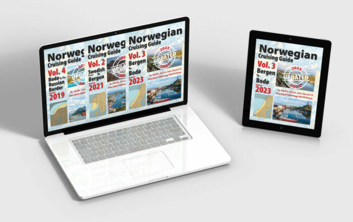
Paper or eBooks
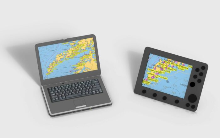
Free Waypoint File
Authors & Publishers
Phyllis Nickel and John Harries. Over 40 years of offshore and high-latitude voyaging experience.
Norwegian Authors
Hans Jakob Valderhaug with Eli Husum. Over 40 years of cruising the Norwegian and Svalbard coasts.