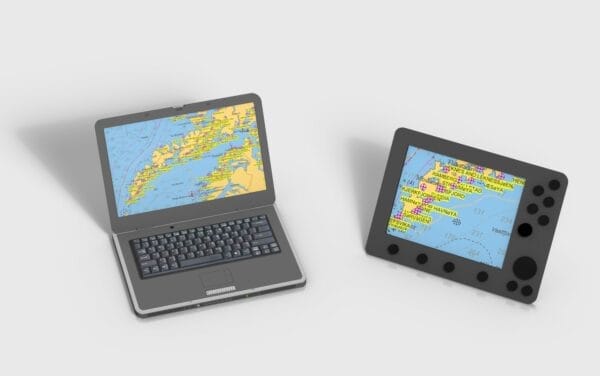
Imagine that you are out sailing the Norwegian coast and it’s late in the afternoon. What ports and anchorages are close? What anchoring/mooring facilities do they have? What is there to do?
A quick glance at your chart plotter or navigation software shows a waypoint at every port or anchorage covered by the Norwegian Cruising Guide. Zoom in on the name, look it up in the Index of the Guide, and your questions are answered.

We have built a waypoint file of all the harbours and anchorages in the Norwegian Cruising Guide that you can upload and display on your plotter, navigation software or Google Earth.
Download even before you buy; you will be amazed!
The waypoints are at the approximate location of the harbour or anchorage and are not for navigation.
To download:
- Windows: right click on the link of your choice below and then select “download link”, or some such (depends on the browser), from the pop-up menu.
- Mac: right click (mouse) or two finger click (trackpad) on the link of your choice below and select “Download Linked File As...” (Not “Download Linked File…”).
If you get the message “Error 0007. We do not process HTML pages” it’s because you clicked on the link, rather than right clicking; see instructions above.
Also, there is a bug in the later versions of Safari (it works fine in Google Chrome) that adds the suffix “.html” to the GPX file name of “NCG.gpx”, so you end up with “NCG.gpx.html”, which is an invalid file name. Just delete the “.html”.
GOOGLE EARTH: Use to check out how amazingly complete the Norwegian Cruising Guide is (instructions for uploading waypoints to Google Earth)
GPX INTERCHANGE: Will work with most modern software and many plotters (so we are no longer offering any other formats)
Because of the myriad of plotters and navigation apps out there we cannot provide support on uploading the waypoint file.

