Svalbard refers to the archipelago made up of two main islands, Spitsbergen and Nordaustlandet, plus numerous smaller ones, lying between about 77°N and 80°N. Halfway to Svalbard from mainland Norway is Bjørnøya, an island which lies between 74°20’N and 74°30’N.
Why
A voyage to Svalbard is a unique high-Arctic adventure. Nowhere else can such high latitude—only 600 miles from the Pole—be reached by a boat in such generally moderate weather conditions and usually without serious danger or difficulty from ice.
Bjørnøya

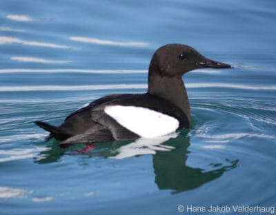
Bjørnøya (Bear Island), although in some respects very bleak and desolate, has a unique beauty and exotic appeal that make it well worth exploring. The coastline teems with seabirds and the towering black rock cliffs and eroded stacks create an eerie scene. There is even a sea cave.
Bjørnøya is populated only by the small staff of the meteorological station located there.
Spitsbergen and Nordaustlandet
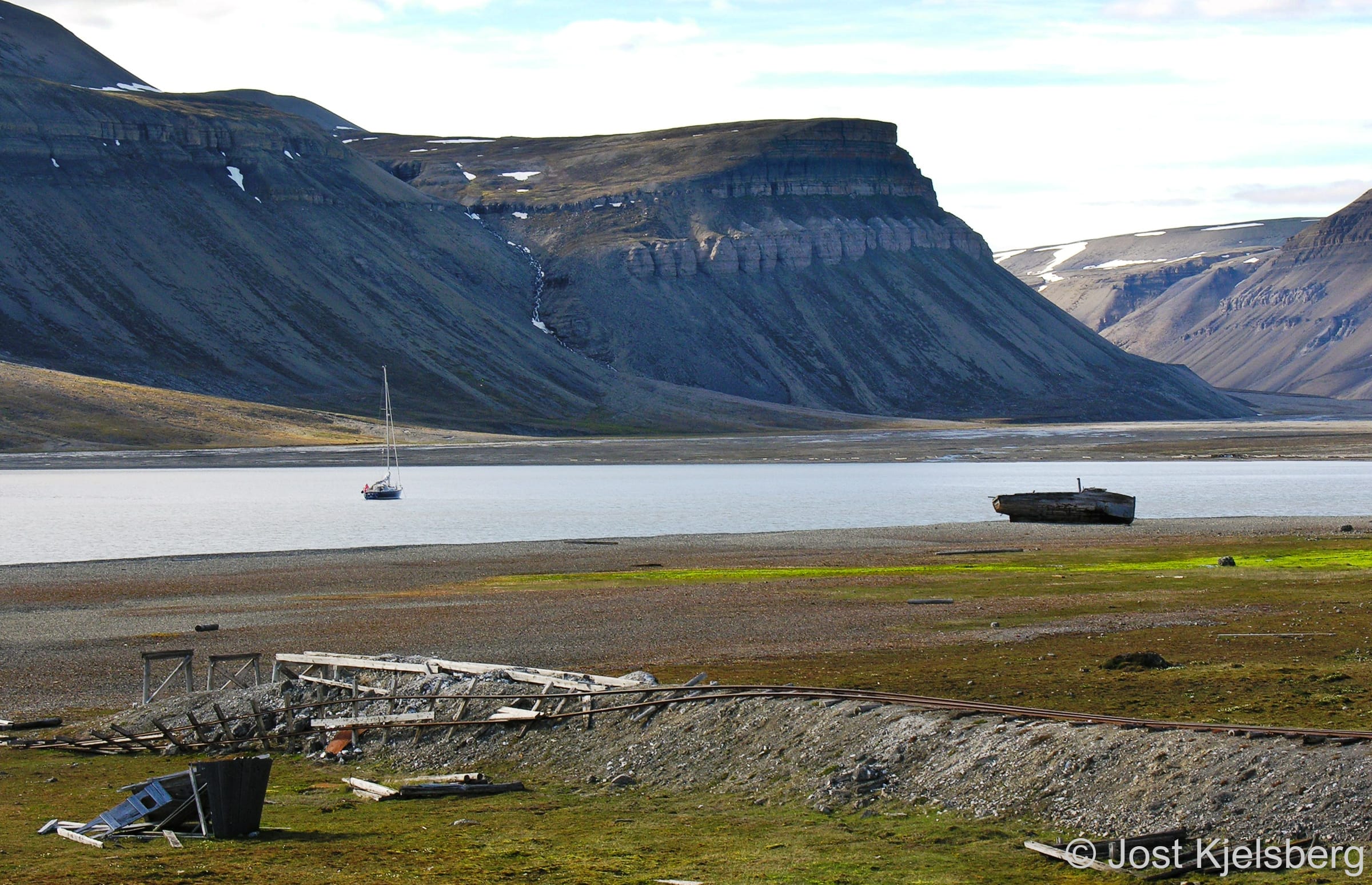
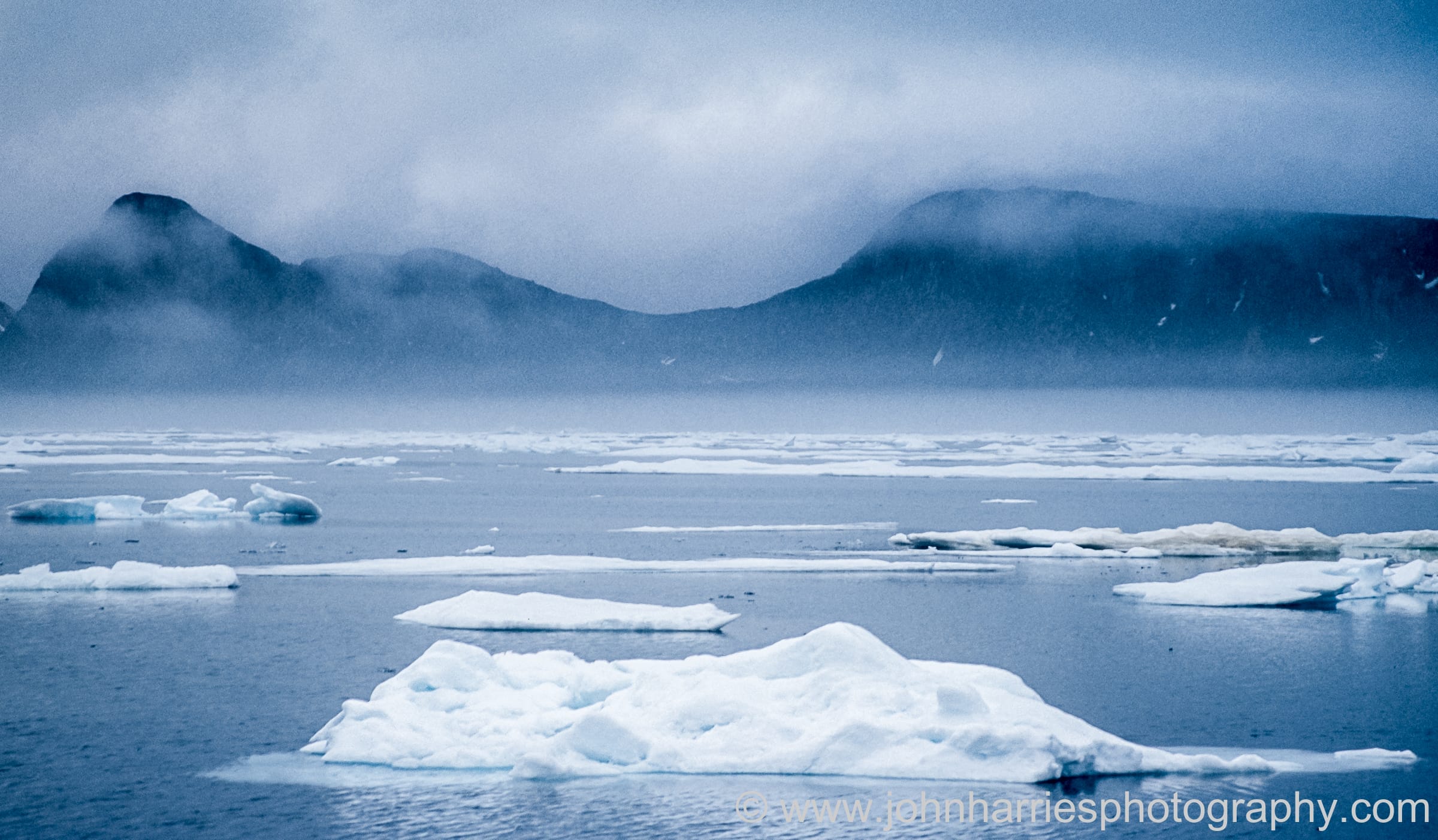
Spitsbergen and Nordaustlandet’s coasts are cut by deep fjords, which offer many anchorages, often with beautiful blue glacier ice drifting about. The scenery encompasses hundreds of square miles of icecap dotted with jagged mountain peaks and the foreground often includes a glacier face several miles wide with a beautiful ice-cliff many mast heights high.

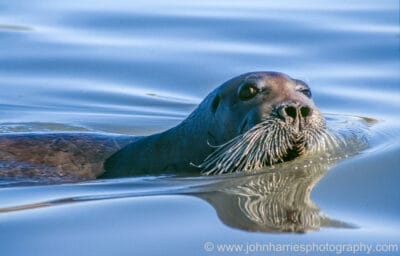
There are myriads of sea and migratory birds—including the arctic tern, which, as the bird with the longest migration of any species, enjoys both the Arctic and Antarctic summers. There are polar bears, foxes, seals, walrus, reindeer and whales.

Although there are approximately 2500 Norwegian, Russian and Polish residents on the island of Spitsbergen, they are concentrated in Longyearbyen and Barentsburg. Other than that, Ny Ålesund has anywhere between 40 and 150 inhabitants and the Polish Research Station at Hornsund about eight. There are also a few huts used by trappers and officers from the Sysselmester (the body that administers Svalbard) dotted around.

The thousands of tourists visiting annually by cruise ship and airplane are also concentrated in a few areas. Though you may end up sharing a fjord with a cruise ship, most of the time you will be alone.
How
The most common route to Svalbard is via Tromsø, where final provisioning and fueling can be done and weather and ice information collected, with offshore departure from Torsvåg.
From Torsvåg the distance to Hornsund is 450 nm. Sailing further east/northeast toward Nordkapp before departing offshore saves no significant offshore mileage. With a moderate increase in the offshore distance, you can sail directly from Lofoten or Vesterålen.
Although Bjørnøya has no all-weather harbours, there are anchorages on all sides of the island and suitable shelter can generally be found in inclement weather. Bjørnøya breaks the voyage into roughly two two-day legs.
Ocean Currents
Ocean currents on the passage to Svalbard seldom exceed one knot but are quite complex:
- North of Torsvåg the current sets mostly northeast, with eddies.
- South of Bjørnøya the current generally sets northeast.
- West and northwest of Bjørnøya the current sets north, up the west coast of Spitsbergen. This is a branch of the North Atlantic current and is responsible for Svalbard’s warmer climate compared to other polar regions at the same latitude.
- The waters surrounding Bjørnøya may be disturbed by tidal eddies for some distance offshore and are often rough and dangerous in severe weather.
- The current which sets south along the southeast coast of Spitsbergen sweeps west around Sørkapp to join the north-setting current and is the major contributor to pack ice (often with polar bears riding along) on the southwest and west coasts of Spitsbergen early in the year.
Where
Though the majority of sailors limit their cruise to the relatively benign and somewhat populated west and northwest coasts of Spitsbergen, with maybe a quick jaunt up to Moffen Island at 80°N, the reduction in pack ice and improvement in charting are encouraging more sailors to carry on east.
However, the north coast of Spitsbergen and all areas to the east are virtually uninhabited and much more isolated than west Spitsbergen. Ice conditions here are more dangerous as the unwary can be caught between the pack ice and the land. Navigation is also more difficult as much of the area has not been thoroughly charted. Only the experienced and extremely well prepared should attempt to cruise in these areas.

With the reduction in sea ice, it is now possible in most years to transit Hinlopenstretet and even circumnavigate the entire archipelago
When
Bjørnøya and the west coast of Spitsbergen are generally free of extensive pack ice from June to November.
Starting in mid-August, the likelihood of experiencing severe weather increases. By waiting too long to leave, you risk being forced into a memorably unpleasant passage south.

